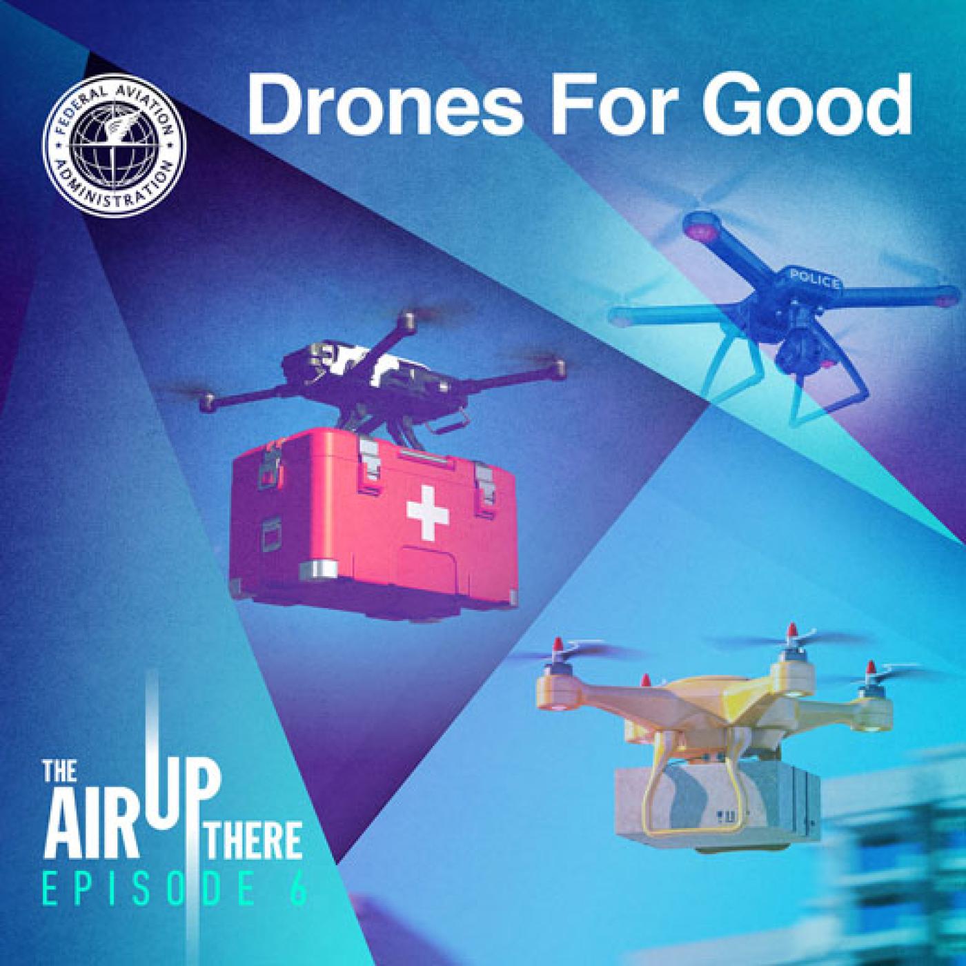
About this episode
Drones are the most rapidly evolving form of aircraft, and while recreational pilots fly them for fun or photography, drones can do a lot more. In this episode, we explore some of the many functional roles that drones play right now — from creating maps in the aftermath of a wildfire and measuring wind speed in the center of a hurricane, to monitoring crops. You'll hear from Commander Tom Madigan of the Alameda County Sheriff's Office, Lieutenant Junior Grade Nicole Chappelle from NOAA's Officer Corps, and James Grimsley, who managed the Choctaw Nation's participation in the FAA's UAS Integration Pilot Program.
Get every episode summarized
Each time The Air Up There publishes, we email you a written briefing from the transcript — the topics, who appeared, and any specific claims, with the ad reads skipped.
Email me new episodesFree for 3 shows. No card needed.
Hosts & guests

No transcript yet
This episode has not been transcribed. Request it and it moves to the front of the queue.
More episodes
More from The Air Up There

Zen Traveler: Tips for Mastering Air Travel Stress
The Air Up There

Fly Safe With Lithium Batteries
The Air Up There

It’s Sunny. Why is My Flight Delayed?
The Air Up There

International Air Travel Tips: Spread Your Wings
The Air Up There